


Project Overview AIR-MoPSy
Atmospheric Impact on the R-Mode Positioning System
Summary
Satellite navigation (GNSS) is central to position determination and time synchronization, but is subject to dependencies. Interference, whether natural or artificial, can have serious consequences. Artificial interference is becoming increasingly common in the Baltic Sea in particular. As a backup, the DLR Institute of Communications and Navigation has been developing the terrestrial system R-Mode since 2017, which uses existing maritime radio stations in the medium-wave range (300 kHz).
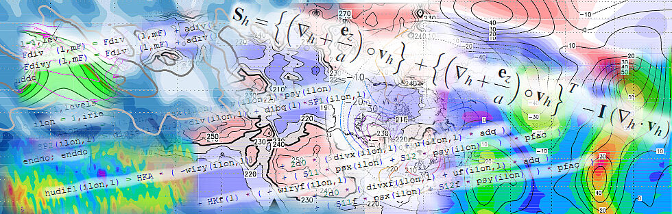
R-Mode is based on ground and space waves. The space wave is reflected in the E-layer, but attenuated in the D-layer during the day. At night and with D-layer fluctuations, this attenuation does not apply. The accuracy is influenced by atmospheric conditions, which is why the required 10 m for harbor approaches and 100 m for coastal navigation are not always achieved.
Project Goals
Understanding space wave propagation as a function of atmospheric conditions.
Quantification of the variability of relevant physical and chemical parameters.
Reliable error estimates for R-mode.
Development of a warning system for accuracy monitoring and suggestions for improvement of R-Mode.
Project Partners
University of Greifswald (Project Coordinator)
German Aerospace Center, Institute for Solar-Terrestrial Physics
Leibniz Institute of Atmospheric Physics at the University of Rostock
German Aerospace Center, Institute of Communications and Navigation
Leibniz Institute for Baltic Sea Research Warnemünde
Project Duration
01.04.2025 - 31.03.2029