

Processes And Climatology Of Gravity waves (PACOG)
The prime objective of this project is to study gravity waves by observational and theoretical methods
in order to better understand the physical processes involved and to elucidate the impact of gravity
waves on the atmospheric background conditions. This project is part of the Research Unit MSGWaves.
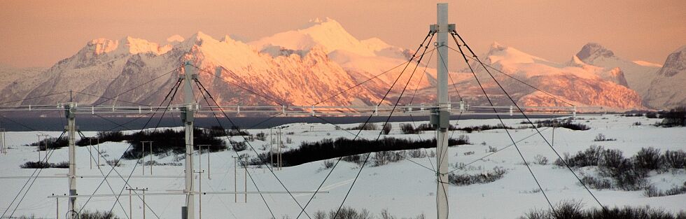
The core part of the PACOG-2020 campaign activities will be conducted in Northern Scandinavia.
The core time period is: 15 of January to 15 of March. However, we also plan to conduct Radar and Lidar measurements continuously during couple of weeks before and after this time slot (pre- and post-phases).
The core IAP instrumentation involved includes:
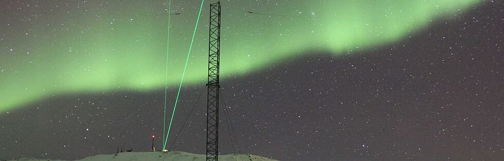
- RMR-lidar at ALOMAR and Kühlungsborn, (possibly Fe-lidar)
- IAP radars in Northern Scandinavia will be operated as follows:
Combined UTLS + MLT experiment,
1.5 - 20 km
wind, spectral width
Standard mesospheric experiment
70 - 95 km
wind, spectral width, electron density
wind (FCA)
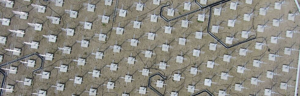
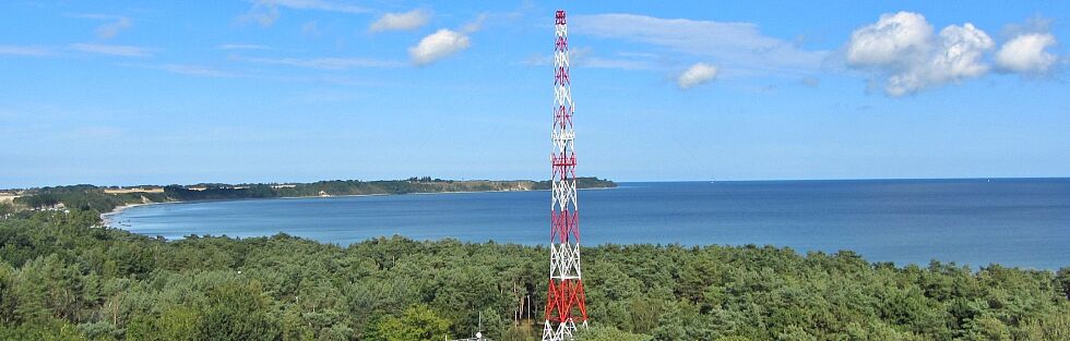
- Meteor radar network (MMARIA)
75 -100 km
wind
- Airglow images at Kühlungsborn
- radiosonde measurements provided by Norwegian Meteorological Institute
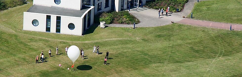
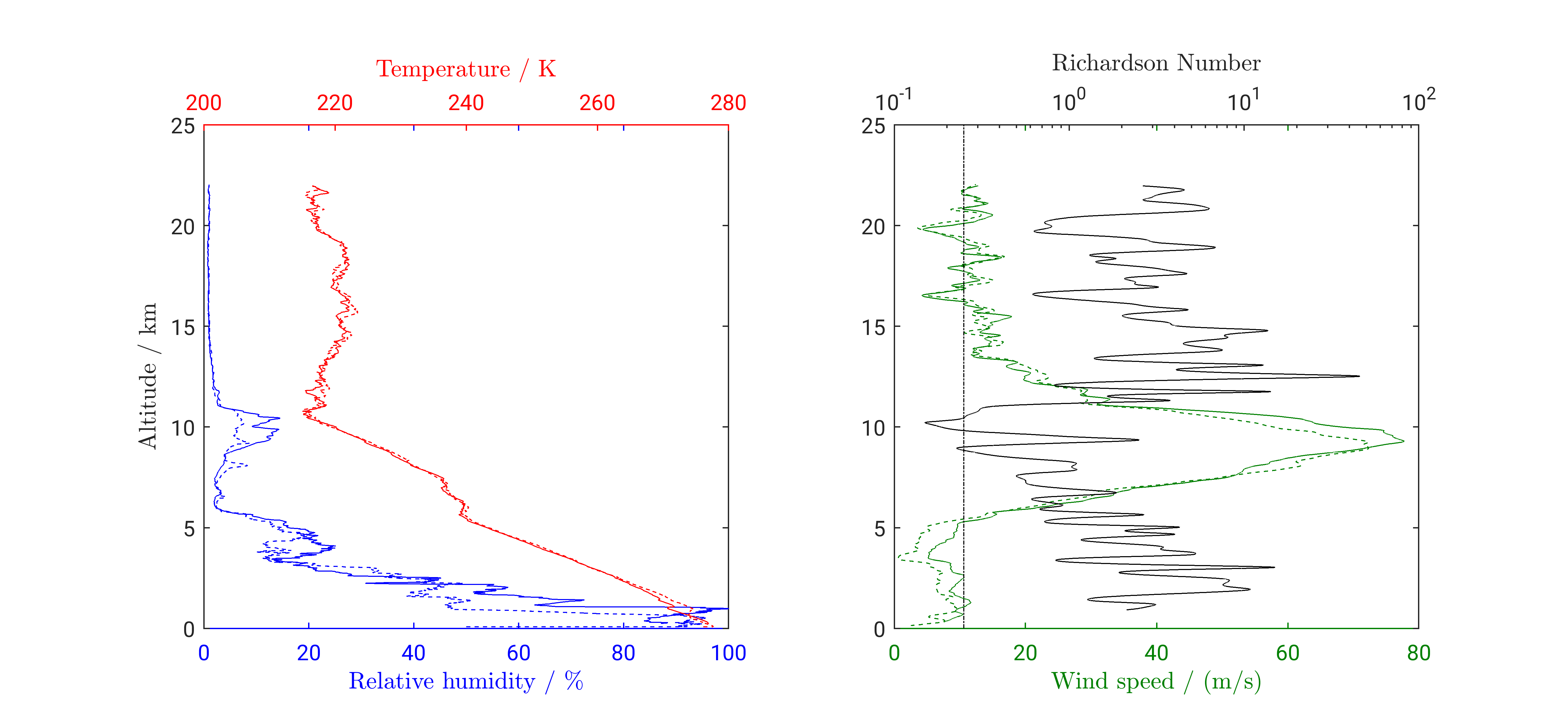
- On 19 January a LITOS payload was launched from Kühlungsborn to study turbulence in an upper-level front. The evaluation of the turbulence data is ongoing. Information from a radiosonde on board of the LITOS instrument is given here.
-Doppler sounding of the Ionosphere ( gravity wave activity at ionospheric heights over western half of Czechia. Provided by Institute of Atmospheric Physics Czech Academy of Sciences )
Other campaigns for this time period:
- SPIDER-2 rocket campaign at ESRANGE in Jan/Feb 2020 (PI: Nickolay Ivchenko ) with extensive support by ESRANGE-lidar, EISCAT radar and ESRAD
-Interhemispheric Coupling Study by Observations and Modeling (ICSOM-5)
Additional links:
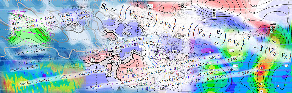
ECMWF Stratosphere diagnostics can be found here
The NH polar vortex was stable. No major SSW was observed.
Forecast (03/02/2020) :
Currently there is obviously an increase in the stratospheric wave one going on, which means a transient increase in the Aleutian high anomaly and in the polar low anomaly over Northern Europe / West-Siberia, where the center of the polar low is slightly moving eastward. In terms of zonal means, it means a small (minor) warming in the upper stratosphere. However, following the forecast of NOAA, this development might be only a short-term event over the next 5-10 days or so, and the vortex will re-establish soon. We will see whether the forecast is right (usually it is right over a period of 5 days or so), or if this event has the potential to develop towards a major stratospheric warming (i.e., a vortex displacement).
This development is indicated by the zonal mean diagnostics provided by NOAA (see, for example, the time series of Tanom and Wave 1):
https://www.cpc.ncep.noaa.gov/products/stratosphere/strat-trop/,
and by the current state and forecast over the next 15 days at different levels up to 1 hPa, also provided by NOAA (see, for example, the forecast of temperatures and geopotential height):
https://www.cpc.ncep.noaa.gov/products/stratosphere/strat_a_f/.
Forecast (14/02/2020) :
1) As predicted, the increase in the stratospheric wave one during last 10 days was indeed a short-term event. The polar vortex is now again nearly zonally symmetric, with temperatures slightly cooler than usual. The forecast suggests that this situation will not change significantly during the next 2 weeks.
See again the zonal mean diagnostics provided by NOAA (e.g., the time series of Tanom and Wave 1):
https://www.cpc.ncep.noaa.gov/products/stratosphere/strat-trop/,
and the forecast over the next 15 days at different levels up to 1 hPa, also provided by NOAA:
https://www.cpc.ncep.noaa.gov/products/stratosphere/strat_a_f/.
2) Currently, the stratospheric ozone concentrations within the polar vortex are significantly smaller than usual.
See here also ozone maps and predictions provided by NASA
https://www.cpc.ncep.noaa.gov/products/stratosphere/strat_a_f/.
and ozone maps provided by Enviroment Canada:
https://exp-studies.tor.ec.gc.ca/cgi-bin/selectMap
Forecast (05/03/2020) :
The polar vortex is still nearly zonally symmetric and currently colder than usual (by about 8 to 12K) particularly in the lower stratosphere (below levels of about 30hPa). In comparison to previous years, lower stratospheric temperatures are currently colder than the long-term minimum. The forecast again suggests that this situation will not change during the next 2 weeks, which could be a hint of a significant delay of the final breakup of the polar vortex. Such a delay could lead to a more abrupt change in the stratosphere-mesosphere circulation during springtime than usual.
The cold temperatures in the lower stratosphere have led to strong ozone depletions (currently the ozone column density is weaker than the previous extreme values during the first days of March in 2005, 2011 and 2016). The cooling due to these ozone depletions may contribute to the unusual cold temperatures in the lower stratosphere and, perhaps, to a delay of the final breakup of the vortex.
See again the analysis and forecast provided by NOAA, i.e., the zonal mean diagnostics (e.g., temperature anomalies, Tanom):
https://www.cpc.ncep.noaa.gov/products/stratosphere/strat-trop/,
the forecast of temperature, geopotential height and ozone over the next 15 days:
https://www.cpc.ncep.noaa.gov/products/stratosphere/strat_a_f/,
and the time series of temperature and winds at different levels:
https://www.cpc.ncep.noaa.gov/products/stratosphere/SSW/
See also the ozone maps provided by Enviroment Canada (includes a possibility to compare individual plots over the last decades):
https://exp-studies.tor.ec.gc.ca/cgi-bin/selectMap
Forecast (16/03/2020) :
Forecasts predict a strong warming of the upper and middle stratosphere during the next days, including a strong increase in planetary wave one. This development might indicate the initial phase of the final vortex breakup which usually occurs during early spring time. However, the lower stratosphere is still very cold at the moment, and the forecast of geopotential height suggests that the vortex could still remain stable during the next 2-3 weeks. The accompanied record ozone loss (in large areas over the Arctic more than 50%!) may contribute to the cold temperatures in the lower stratosphere (in addition to the long-term cooling by increasing carbon dioxide). At the moment it is an open question how long this cooling of the lower stratosphere will counteract to the upcoming upper and middle stratospheric warming.
Again, maps of total ozone column, including the possibility for comparison with previous years, are provided by Enviroment Canada:
https://exp-studies.tor.ec.gc.ca/cgi-bin/selectMap
Forecasts of temperature, geopotential height and ozone, and time series monitoring SSW developments (GMS analysis and 16 day forecasts at different levels), are provided by NOAA:
https://www.cpc.ncep.noaa.gov/products/stratosphere/strat_a_f/#emct
https://www.cpc.ncep.noaa.gov/products/stratosphere/SSW/
Forecast (30/03/2020) :
Currently the lower stratosphere is still unusually cold, probably because of the record ozone loss and associated cooling in the polar vortex region. The stratospheric warming event of the last 2 weeks was limited to the middle and upper stratosphere, and did not led to a final breakup of the polar vortex but only to a displacement of the center of the vortex towards North Canada. Forecasts predict that the vortex will remain stable during the next 2 weeks, where the center of the vortex and the embedded record ozone loss will move back towards Northern Europe/West-Siberia.
Note that the discussion on the “Arctic ozone hole” is increasing, e.g.:
https://www.nature.com/articles/d41586-020-00904-w.
Again, an archive of maps of total ozone column are provided by Environment Canada:
https://exp-studies.tor.ec.gc.ca/cgi-bin/selectMap
Forecasts of temperature, geopotential height and ozone are provided by NOAA:
https://www.cpc.ncep.noaa.gov/products/stratosphere/strat_a_f/#emct, and
https://www.cpc.ncep.noaa.gov/products/stratosphere/SSW/
Forecast (16/04/2020) :
During the next two weeks the arctic stratosphere will become warmer very rapidly (particularly the lower stratosphere) and the high-latitude zonal mean jet will change from westerlies towards easterlies, i.e., the stratosphere will change towards usual summer conditions. Accordingly the polar vortex, which is already weak but still exists, will finally dissipate within the next two weeks.
The record Arctic Ozone Hole is still observed over the Arctic, where the edge extends towards Northern Scandinavia, the Baltic Sea and Northern Russia; together with the dissipating minimum temperatures in the lower stratosphere, the minimum ozone values will move eastward towards East-Siberia, and will be filled up by the onset of photo-chemistry and increasing eddy mixing during the next weeks.
See again the maps of total ozone column provided by Environment Canada:
https://exp-studies.tor.ec.gc.ca/cgi-bin/selectMap,
the forecasts of temperature, geopotential height and ozone provided by NOAA:
https://www.cpc.ncep.noaa.gov/products/stratosphere/strat_a_f/#emct,
and the time series of GFS Analyses and 16 Day Forecasts provided by NOAA:
https://www.cpc.ncep.noaa.gov/products/stratosphere/SSW/.
Forecasts provided by Dr. Axel Gabriel
